File:Community Map Drawing.jpg
Jump to navigation
Jump to search
Size of this preview: 800 × 567 pixels. Other resolution: 2,068 × 1,466 pixels.
Original file (2,068 × 1,466 pixels, file size: 720 KB, MIME type: image/jpeg)
Summary
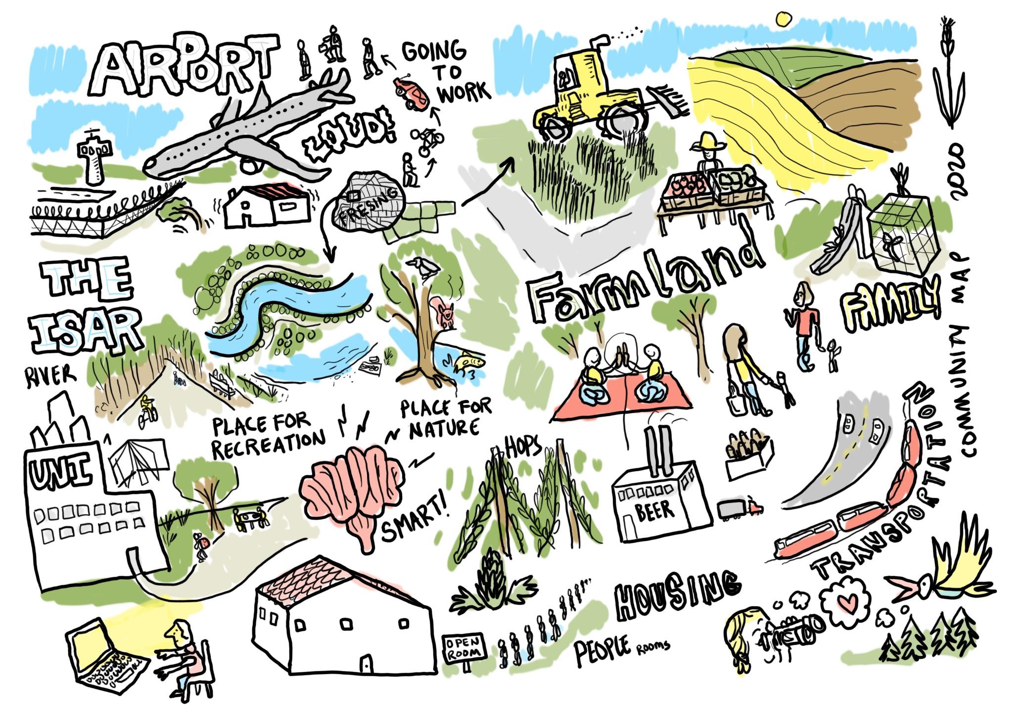
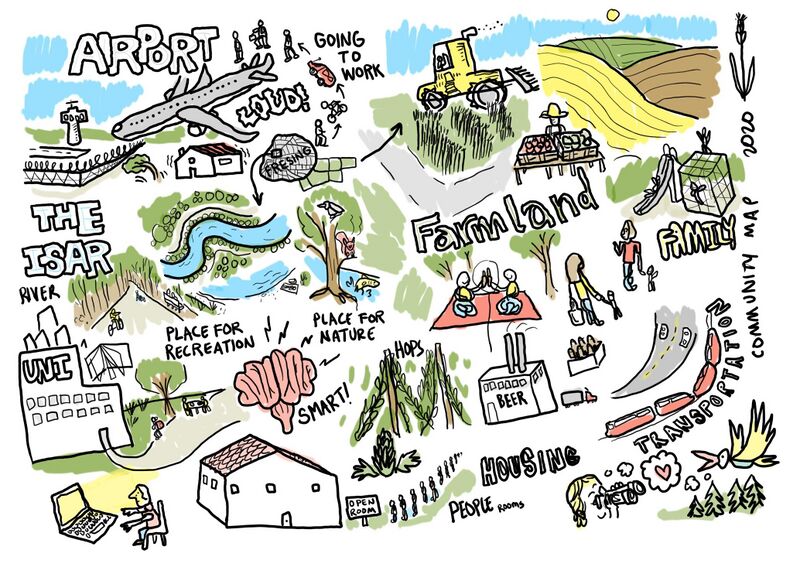
This sketch represents the communities found in the Dachau - Freising corridor in the north of Munich, namely in the region near the MUC airport.
File history
Click on a date/time to view the file as it appeared at that time.
| Date/Time | Thumbnail | Dimensions | User | Comment | |
|---|---|---|---|---|---|
| current | 11:04, 21 April 2020 | | 2,068 × 1,466 (720 KB) | Paul.maksoud (talk | contribs) | Bürgerbüro This sketch represents the communities found in the Dachau - Freising corridor in the north of Munich, namely in the region near the MUC airport. |
You cannot overwrite this file.
File usage
The following file is a duplicate of this file (more details):
There are no pages that use this file.